The original plan was to cross over the Kok Airyk pass and go as close to Ozerny as possible into Kazakhstan and then reach Karakol. We also played with the idea of camping somewhere in between. The day before had been long and tiring but still, I wanted to live in a utopia and fantasized about waking up to catch the sunrise on the lake.
Aarti had no such aspirations and was content in resting. While the sun rose in the east, I kept sleeping soundly with my head pointing towards the west. It was only by 7:30 am that we managed to get up and about.
Journey So Far:
- Planning & Preparation for a Trip to Kazakhstan & Kyrgyzstan – Part 1
- Planning & Preparation for a Trip to Kazakhstan & Kyrgyzstan – Part 2
- Delhi to Almaty & Sightseeing in Almaty – Day 1 & 2
- Almaty to Charyn Canyon – Day 3
- Big Almaty Lake – Ile Alatau National Park – Day 4
- Almaty to Bishkek – Day 5
- Bishkek to Ala Archa National Park – Day 6
- Issyk Kul Lake – Day 7
Outside our room, I bumped into a young lad selling some baked goodies. A couple of tense ‘Russian translation’ moments later, I figured that it was bread stuffed with sweet, fresh apricot jelly. Priced at 20 SOMs a piece, this was one of the most delicious local delicacies we chanced upon during our stay in the country.
The dish is called Piroshki, a generic name given to bread stuffed with sweet fillings such as apricot, cherries, or berries. In its salty avatar, it could be filled with meat or mashed potatoes. Later at Karakol, we even had a fried version with a potato filling. It is typically a breakfast dish preferred by the locals.
Quick Navigation
Kok Airyk Pass
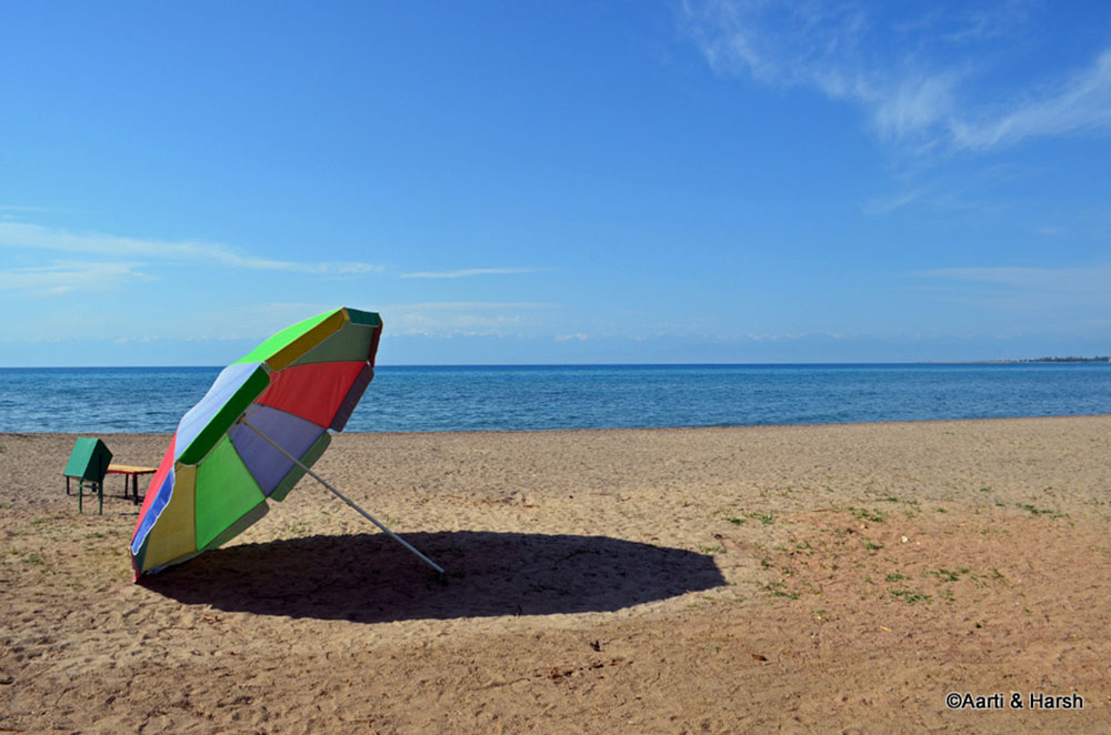
The lake, Issyk Kul, is located at about 1600 m above sea level and is surrounded by a 2-3 km wide plain area dotted with various towns. Beyond this plain, the lake is surrounded by different mountain ranges with peaks higher than 5000 m ASL.
Our plan for the day was to check out the road going towards Kazakhstan and Ozerny pass. It was said to be complete but sadly not frequently used. If the road was open, we were planning to spend the night camping in the valley beyond this mountain range. On crossing the Kok Airyk pass at about 3800m ASL, one can descend into the next valley.
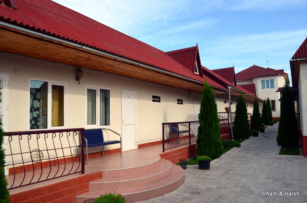
The home-stay where we spent the night, although it is not marked as a homestay from the outside. It was more like a hostel than a homestay and even boasted of a garage within the premises,
A quick visit to the Issyk Kul lake
A Pass that did not Let us Pass
We approached the cut for the pass at about 9:00 am. The tarmac gave way to a dirt track which climbed straight up for a few kms after which the switchbacks began. I was half expecting to be stopped by the Kyrgyz army once the switchbacks began, but there were no such posts. Heck, there wasn’t even a single man in sight.
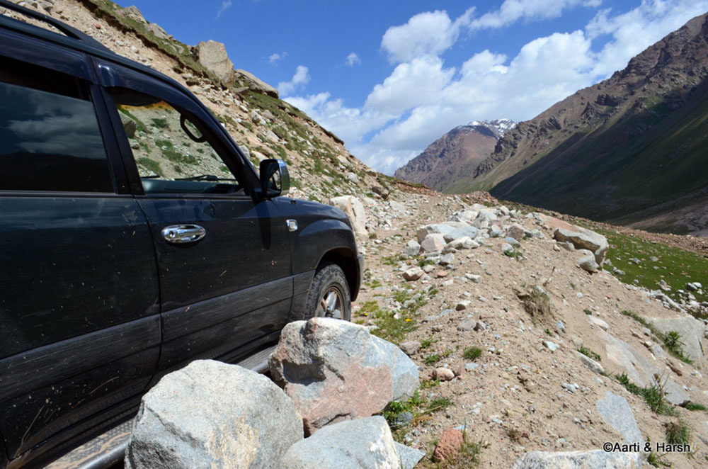
As we gained height, the road condition deteriorated. It was steep but the more troublesome aspect was the presence of numerous boulders and deep ruts throughout. The incline was steeper than the one to Marsimek La! You climb about 1200 m in 19 km on the drive from Phobrang to Marsimek La. Here we gained about 2100 m in the 28 km we climbed!
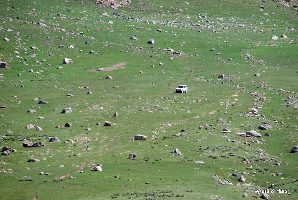
At one switchback, we took a wrong fork in the road and came up to a large open meadow. The track ended at a shepherd settlement in the meadow below. I looked up and saw the ‘road’ to the pass at my right, and it was then that I noticed a tiny speck crawling down the mountain face.
At first, I could not believe it, but after having a closer look at the speck with the zoom lens, it was evident that it was a Lada 4×4 (a vehicle of Russian make) trudging down a sheer mountain face. It was a bruise to our ego. Here we were, climbing at a snail’s pace up the mountain in a super expensive off-roader, while a little Lada was taking the mountain head-on.
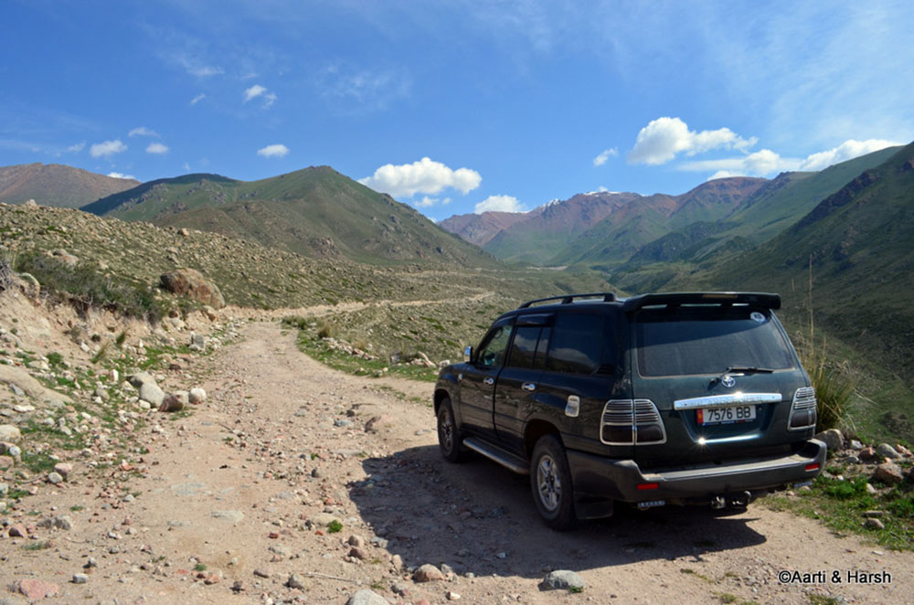
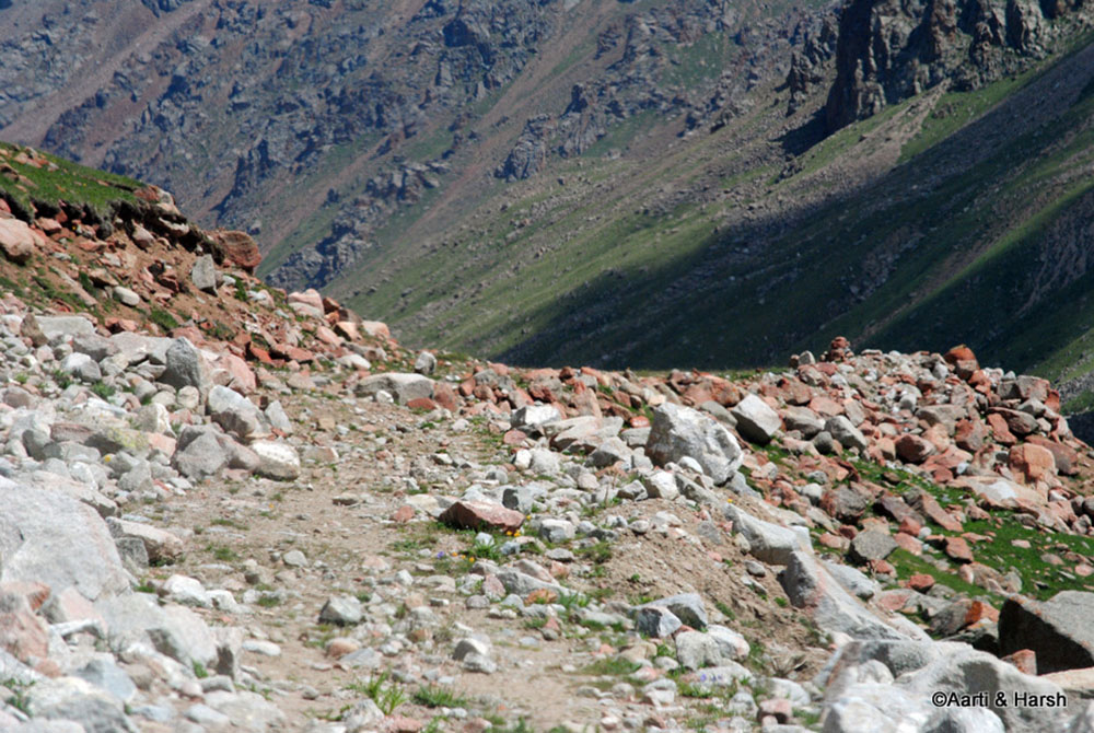
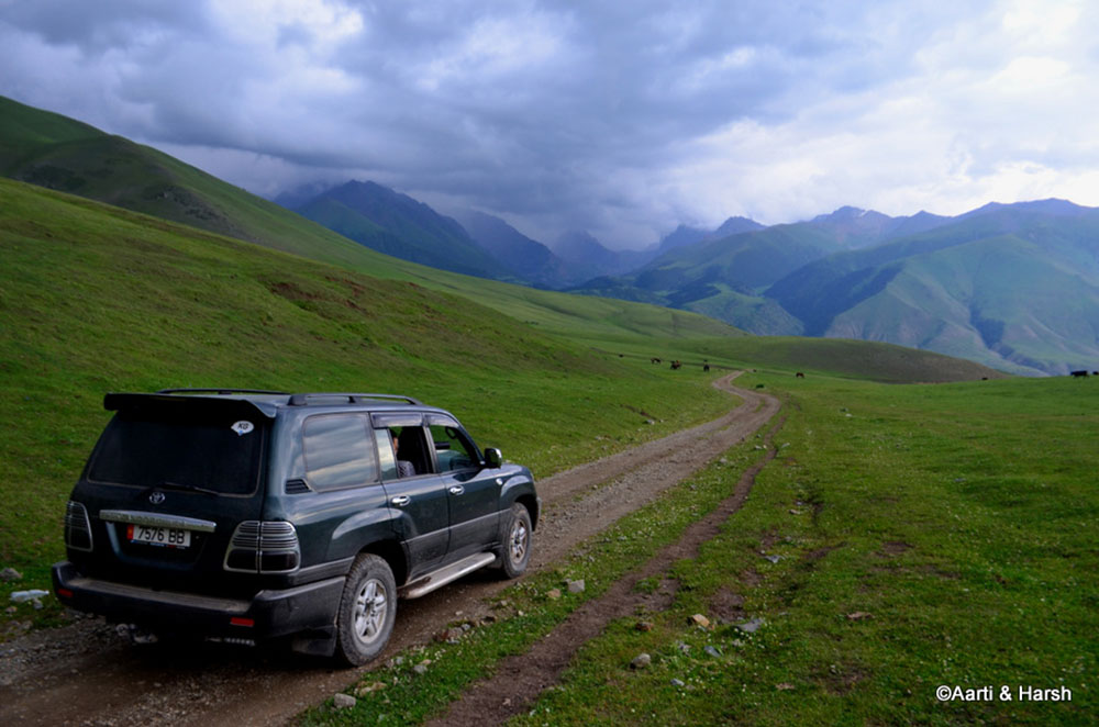
The road winds up towards the Kok Airyk pass, as can be seen, up ahead. The path was quite rocky and hence the progress slow.
This Lada 4×4 did not believe in using roads, but to directly roll down a hill!
The Steep Climb
We took an about-turn, deciding not to climb the path that the Lada was descending upon. No sir, there was no sense in taking unnecessary risks in a rental car. Once back on the fork, the climb began again. We marched on to reach another settlement quite near the pass.
The shepherd must have been rich as he had a huge collection of sheep, cows, and horses, grazing in the meadow. We hollered to catch the attention of any living soul nearby to ask for road conditions ahead, but there was no reply. There was no one there.
We marched ahead, hoping for the road to improve, but our prayers were not answered. On the contrary, the track kept getting narrower and the boulders on the road kept getting bigger. It seemed as if the track had not been used in recent times.
Further up, the track became extremely narrow barely allowing the TLC to pass and there we saw huge boulders blocking our path ahead. We walked a bit to see what lay ahead, but it was the same, and it was evident that the TLC would not go any further.
Failed Attempt & Return
With a heavy heart, we let go of our plans of Kok Airyk Pass and reversed. Ozerny and the valley below would have to wait until the next time. It was with much difficulty that I was able to reverse the car on that narrow 500 meters stretch, taking multiple attempts and narrowly missing those boulders.
The descent was straightforward and took about the same time as the ascent. We were back on the highway by 12 pm. A good 3 hours were wasted in the attempt to reach a lesser-explored valley. A small price to pay I say.
Progress halted. Too many boulders to negotiate
The path ahead was worse. Seeing the futility of passing the pass, we returned
Cholpon Ata
After descending from Kok Airyk pass and upon reaching the highway, we headed east towards the town of Cholpon Ata. This particular town is one of the biggest on the lakefront and is frequented by many tourists, local and foreign alike.
A lot of Kazakh businessmen descend here during the summers to enjoy sun and sand with their families, or even without. One can find all kinds of amenities and thus the place tends to get pretty crowded in summers.
The Almaty – Ozerny pass – Kok Airyk pass – Cholpon Ata route was high on the government’s agenda some years ago to entice more Kazakh tourists to come here by reducing the travel time from 7 hrs currently to about 3. However, as you read in the last post, the route is far from being complete.
Lunch was at the Uroos cafe which came highly recommended by the travel guide and boasted of an English menu. The food we ate was simple and consisted of Ashlan Fu and some Manty.
We also had to visit the bank and exchange a torn 1000 SOM note. Thankfully, that happened without a fuss. Post-lunch, we decided to check out an open-air petroglyph site that was on the must-to-do list in this town. The road to this site was poorly marked and it was with much difficulty that we finally managed to reach it.
Petroglyph Site
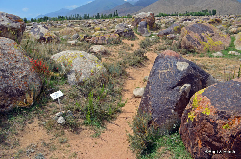
The site was cordoned off by a fence and seemed abandoned. As we entered a guard came out of nowhere and asked us to buy an entry ticket. It was not much, about 50 SOM per head. As he could not speak any English, taking him for a guide was futile.
We had meandered for hardly 20 minutes before we realized that the place was not worth the time. The site had been very poorly maintained with no signboards in English explaining the petroglyphs. Even locating these drawings was difficult and people had drawn over the petroglyphs at many places.
The entire time we were at the site, we kept remembering the excellently marked and very informative tour of petroglyphs that we had experienced at Bhimbetka in Bhopal, Madhya Pradesh, India.
The open-air petroglyph museum
Gregoriveka
We were back on the highway by 2:30 pm and continued towards our destination for the day, Karakol. At a town called Gregoriveka, we took the cut towards a National Park by the same name.
The guide books had mentioned it to be a nice park and I had marked two lakes inside it on Google Earth which could make for a very good campsite, should we be interested to break the night there.
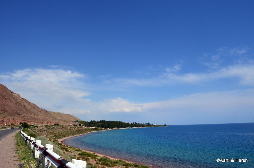
The blue Issyk Kul. The road kisses the lake at multiple points, making it a very scenic route to drive upon.
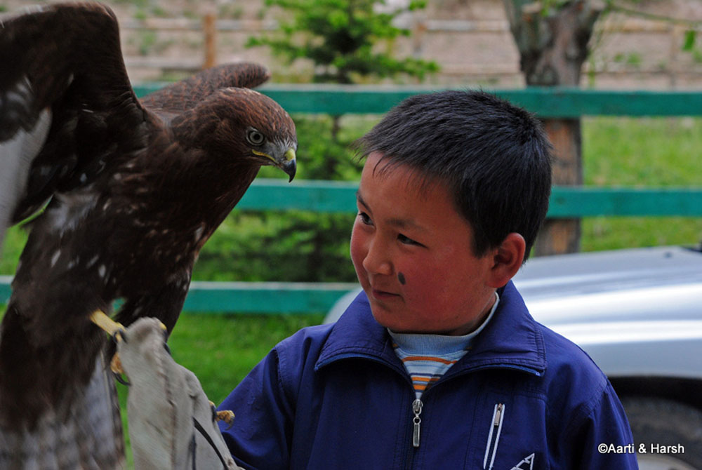
As we came close to the gates of the park, Aarti pointed to a statue of an eagle next to the ticket booth. Suddenly, the statue moved and we realized that it was actually a pet eagle and was there for the benefit of tourists like us. We were excited and sad at the same time.
The Eagles
Excited to be so close to an eagle and sad for the bird itself which had to lead its life in captivity and pose for people like us. Its owner was a small boy who was quite bad at negotiating. He began with an asking price of 200 SOM and finally settled at 20 SOM for shots of his bird.
The park entry fee was about 250 SOM for the car and 20 SOM per head for us. As soon as we entered the park, we came across more eagle tamers squatting on the road. We stopped and negotiated for 40 SOMs to take pictures of a huge eagle, much bigger than what the boy had.
With our limited command over the Russian tongue, we were ganged upon by all the 5-7 eagle tamers with each one of them trying to make a quick buck. After the shots were taken, each of them demanded 200 SOM for each one of their birds.
This meant a good 1500 SOMs! Aghast at the request, we negotiated hard but eventually had to shell out 200 SOM. Tourists everywhere face a similar predicament it seems.
As we started driving inside the park, we were greeted by the sight of many locals enjoying the river in what would otherwise have been a tranquil park. There were many shacks that sold the Kyrgyz staple food and drinks, Shashlik and Koumiss, but we gave them a miss.
Several off-road vehicles, with a ground clearance of more than 300 mm and splashed with fresh mud, crossed us leading us to speculate that the road ahead might turn for the worse.
The Lake
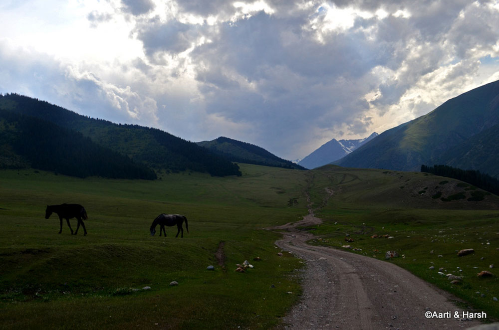
The narrow valley soon gave way to sprawling meadows which were lush green, and the melee of tourists was left behind for good. It was much more tranquil here in the meadows devoid of shacks. We reached a fork in the road, one which began climbing towards the west and another towards the east.
The lake that we’d spotted on Google Earth lay to our west, but we had to come back and climb the eastern road to the Kichi Aksu valley beyond. The dirt track now gave way to a somewhat marshy track that cut across the huge meadow. There were some water crossings and some scary patches but nothing that increased our heartbeat.
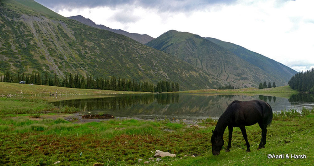
We reached the first lake by about 5:00 pm and fell in love with it at first sight. It lay in a sort of a bowl, with the green mountains reflecting in its wavy waters, and horses grazing lazily in the lush meadows that surround it. Picture perfect is what came to mind.
We met a Russian couple there and got to know that they had driven all the way from Russia to Kyrgyzstan for their holiday in their own car. That is one hell of a drive!
A missed Camping Opportunity
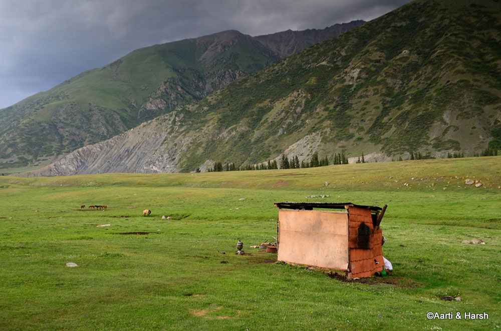
There was an empty shack next to the lake, and an abandoned teapot lay outside but not a soul was in sight. Our hopes of having nice hot tea with some snacks were dashed as soon as they had cropped in our heads. We debated amongst ourselves to camp here for the night.
However, the weather seemed to be taking a turn for the worse and a wet camp did not excite either one of us. We spent some more time chasing horses and clicking pictures and then decided that it was time to go back.
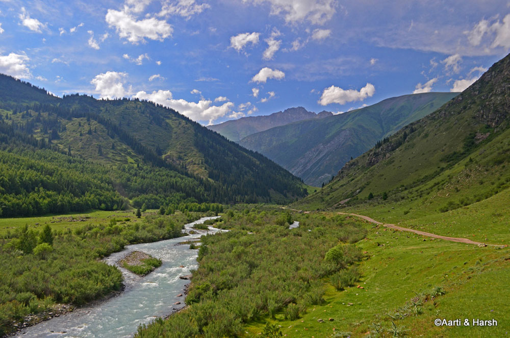
The valley was narrow initially but later opens up spectacularly
The road meanders through the wide meadow
The lake would have made for a perfect campsite
The abandoned shack with tea making apparatus left outside
Kichi Akshu Valley
On our way back, an old man flagged us down. He requested us to drop his granddaughter at Gregoriveka, back on the highway. With much difficulty, we explained to him that we were taking the longer route back. We will go through the Kichi Akshu valley and would hit the highway at Semyenovka; 15 km further from where she wanted to go.
The daughter agreed and mentioned that she could catch a Mashrutki (bus) back to Gregoriveka once we reached the highway. Agreeing on the terms of the hitch, she hopped on the back seat. Too bad that she could not speak any English as it would have been fun to interact with her and to know more about her.
We were back at the fork in the road by 6:00 pm and the weather had now turned quite bad. We made haste lest the track turned muddier. After climbing over a small hill we were treated to another wide meadow and this was much bigger than the one before. It also had some settlements in it, mostly of nomads who had set up their yurts there.
It started raining heavily which limited our photo opportunities. In another half an hour we were back on the highway, where it had rained earlier but now the sun was out. We were greeted by two lovely rainbows – one full and the other half.
And we tumble back towards the fork, towards Kichi Asku valley
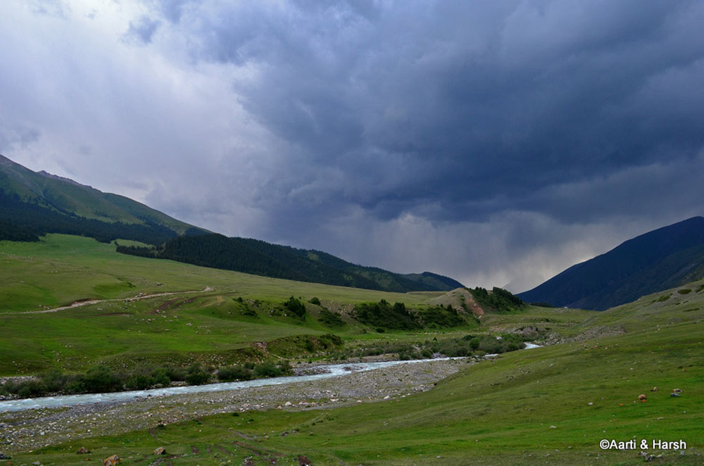
A last look at the valley left behind, it had started to rain where the lake was situated
Aah, the road up ahead
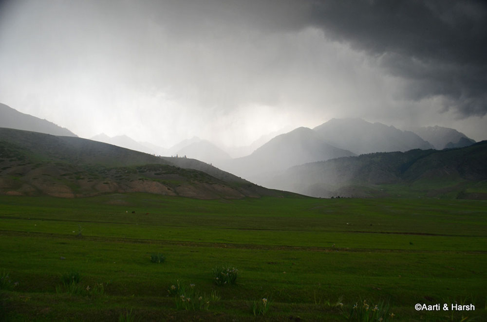
The drizzle had turned into a downpour up ahead
Karakol
We had a good 2.5 hours of sunlight left. But Karakol, our stop for the night, was still a good 100 km away from Semyenovka. We bid adieu to the little girl and pushed off. The highway was smooth, the progress fast and we reached Karakol in the dying light of the day at about 9:00 pm.
The town wore a deserted look and it seemed the European hiking season was still not underway. Karakol being surrounded by lofty peaks is considered a trekkers’ paradise and most Europeans head towards this town.
The homestays mentioned in the book were either not to be found or seemed a bit shady. Others had still not opened for the tourist season. We eventually found a hotel by the name of ‘Madanur’ and finalized the room at 1400 SOM per night, inclusive of breakfast.
Noor
After checking in, we looked up a Turkish restaurant in our book and headed there for dinner. Called ‘Noor’ and written as ‘Hyp’, the restaurant was at the center of town, about 3 km away from the hotel.
The menu was not in English but we managed to order Borscht (a Russian soup made of beet) and what seemed to be a dal along with a kebab platter and a salad. The Borscht was quite ordinary, the lentil soup was really nice and so was the salad and the kebab platter.
- Journey Ahead: Sightseeing in and Around Karakol
We went back to the hotel and crashed for the night. The hotel had an internet connection, and so we checked our emails and logged into Facebook as well. The next day was planned in the valleys around Karakol, and hence there was no rush to wake up early. Please click on the link above to continue reading the next part of the travelogue.
Kok Airyk Pass to Karakol – Conclusion
I hope the travelogue, pictures, and information above on traveling from Kok Airyk Pass to Karakol were of help. If you have any questions, please feel free to ask in the comments section below or at our Community Forum, and I will be happy to answer. You can also follow me on Instagram and chat with me live there or subscribe to my YouTube channel and ask a question there.

