Once you have traveled, the voyage never ends but is played out over and over again in the quietest chambers. The mind can never break off from the journey. These famous lines by Pat Conroy became a reality every since we came back from a bike trip to Bhutan. The trip kept playing in our minds and inspired us again to make a road trip to the famous Saranda hills of Jharkhand.
It was a few years ago in November when five of us at Bokaro Steel had undertaken a 2000 km journey from Bokaro to Bhutan and back. Though it had been 07 years, the memories of the maiden bike trip had re-played in our minds several times over in various informal gatherings and get-togethers.
Planning for the next trip would also be on the agenda to relive the experience. However, with all of us being on the wrong side of the 40s and tied down with familial responsibilities associated with this age bracket, it was not going to be easy. Moreover, a bike trip to Vizag had to be called off at the last moment due to unforeseen circumstances.
Quick Navigation
About Saranda Hills – Saranda Forest
Undeterred by the same, we decided on planning for a short 6-days trip that would not be too taxing on our weathered bones and finally zeroed in on SAIL iron ore mines situated in the Saranda Hills – Meghahatuburu, Kiriburu, Gua, and Manoharpur (Chiria).
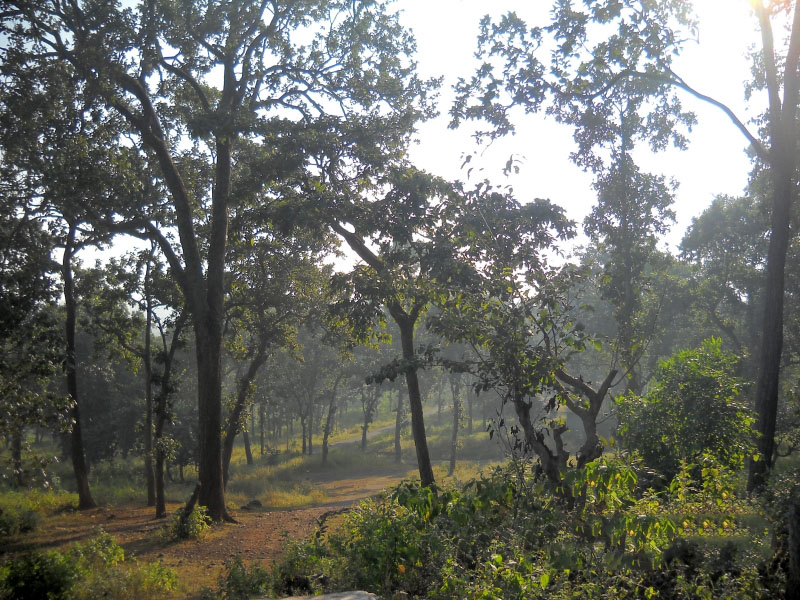
Saranda literally means – “Seven Hundred Hills” and is a dense forest in the hilly region of West Singhbhum district in Jharkhand. Formerly the private hunting reserve of the Singh Deo family (the erstwhile royal family of Saraikela), the forest covers an area of 820 km². The reserve forests are the haunt of many animals, the wild elephant being found in large numbers. Sal is the most important tree and it seems to have a preference for the rocky soil of the area.
Also Read: Road Trip to Tawang – An Unsung Paradise
Road Trip to Saranda Hills
We were four riders on three bikes (an extra driver in case of exigency). During the countdown to the ride, the mind was a medley of thoughts. Near and dear ones, friends, and acquaintances would question us on the fruitfulness of undertaking such a trip and at our age.
The reason for undertaking a bike trip can only be appreciated by those within the biker community. Riding a motorcycle on those potholed dirt roads and the dusty state highways makes one get a feel of things he or she can never experience in the air-conditioned cocoon of a car. With the highway slipping by below your feet, life is nothing but a dull roar in your ears, as one connects with the 05 elements – air, water, fire, land, and sky. One’s worries and pains diminish in the horizon behind.
With the trip finally decided, actual preparations started about one week ahead. Travelling gear, tracksuits, and sneakers were bought, bikes were serviced and all tires replaced with new ones for better road grip and to avoid skids.
Day 1 – Bokaro to Meghahatuburu
All of us assembled at Arun’s place at 6:00 am. Arun’s 150cc Pulsar was loaded with Shravan’s and his baggage for a solo ride. Shravan would ride as pillion on my 150cc Unicorn and Ashesh would be solo on his 125cc Ambition. It was a cool and clear autumn morning and the daylight was just beginning to break.
After a hot cup of tea and a few preliminary clicks with the camera, the machines roared to life and the pack hit the road for the onward journey towards Puruliya in West Bengal. Soon the sun was up and shining and the cool breeze made it a pleasant experience.
The road was decently even with occasional bumps, but it was more or less a comfortable boulevard to ride on. With us cruising at speeds between 60 and 70 kmph the 40 km to Puruliya was covered in about an hour and a half. We drove further for about 15 km and it was time to take our first break in a roadside dhaba.
We stretched our stiffened backs and had our fill of traditional Indian breakfast. Having had a cup of hot tea that was welcome and rejuvenating, it was time to get back on the machines that had now got sufficiently warmed up and were performing to our expectations.
Also Read: India to Bhutan Bike Trip Travelogue – Bhutan Bike Ride
Chandil
The road condition now worsened. Seemingly good stretches proved deceptive as potholes large enough to engulf the entire bike suddenly appeared out of nowhere. Speeds were cut down to below 40 kmph and just as we were about to re-enter Jharkhand we were stopped by a West Bengal police patrol group. (Wonder why they stop only 02 wheelers?)
It took us some time to unpack the baggage and produce documents related to insurance, driving license, pollution under control certificate, and the owner book. After examining and finding them proper, we were directed to proceed.
The road was now completely weather-beaten, as we longed to get back to an even tarmac. The innumerable railway crossings and town traffic inside Chandil made things difficult for both man and machine. Nevertheless, enduring all these in our stride, we crossed Chandil after having traveled for about 3.5 hours, taking short breaks in between, covering 105 km.
Chaibasa
We moved on towards Kandra which is about 15 km from Chandil and continued further to Saraikela (22 km from Kandra). The road from Kandra to Saraikela is being widened and one has to take countless diversions that were dusty, muddy, and stricken with gravel.
The shock absorbers of the 03 bikes did well in absorbing the jolts and jerks, though the same was not true for the bones and muscles of the men riding them. It was once again time to loosen ourselves a bit and we stopped near a pond under the shade of a huge banyan tree, just after crossing Saraikela and turning left on the state highway towards Chaibasa.
After a 15 min rest, we were back on the road. We thanked Almighty when we found that the narrow but well-laid out metalled road was in quite a good condition. Speeds re-touched 70 kmph and the picturesque countryside with yellow paddy fields on both sides was soothing to the eyes.
Traffic was sparse and moving across the lonely road at a brisk pace we covered the 30 km distance to Chaibasa with ease. It was now 12:15 pm and we had covered 170 km.
Haathi Chowk
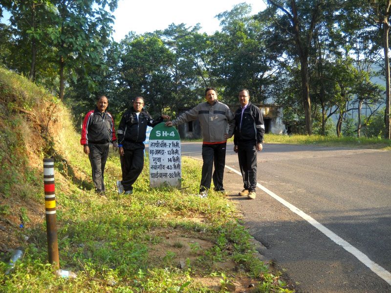
From Chaibasa we took the NH 75 towards Hat Gamhariya. The road was the best we had ever seen. The jet black and flat tarmac matched that of an airport strip. Traffic again was sparse and we got the confidence of keeping the machines just less than 80 kmph.
A smooth cruise coupled with beautiful sights on both sides of the road constituted a memorable experience as we crossed Jhinkpani. Covering the 40 odd kilometers in a jiffy we reached Hat Gamhariya by 12:45 pm.
Taking the much-needed break, we turned towards the right on the state highway from Hat Gamhariya to ‘Haathi Chowk’ – a distance of about 50 km. The road was wide and fairly good to cruise at 60 kmph. However, at each village along the way, we were greeted by a couple of towering speed breakers – one as we approached the village and one when we were about to leave it.
As my bike bore the load of two, the main stand would caress the hump with fairly loud and unpleasant noise as the rear shocker cylinder completed its full stroke to absorb the jerk. This proved to be very irritating as we found ourselves repeatedly cutting down speed, re-accelerating, again slowing down, crossing the speed humps, and so on.
This was taking a toll on our arms and legs which were now aching, apart from the shocks that were getting transmitted up the spine. But we continued onwards and as it was already past lunchtime, we started scouting for a decent dhaba (which is a scarcity on that road), to enjoy a meal.
Also Read: Delhi to Kalpa – A Trip to Kinnaur Valley in Winter
Meghahatuburu
Finally, at about 1:45 pm we got to a dhaba at Kotgarh (just before Noamundi) and all of us went flat on the hard wooden beds commonly found in dhabas, to stretch our backs. It had been a 225 km long drive on the dark boulevards and the last stretch had been quite bumpy.
The meal was simple but tasty and the long much needed 45-minute break was very welcome. About 40 km distance was now to be covered to reach the SAIL guest house at Meghahatuburu, so we once again were back on the saddles to cover the final leg.
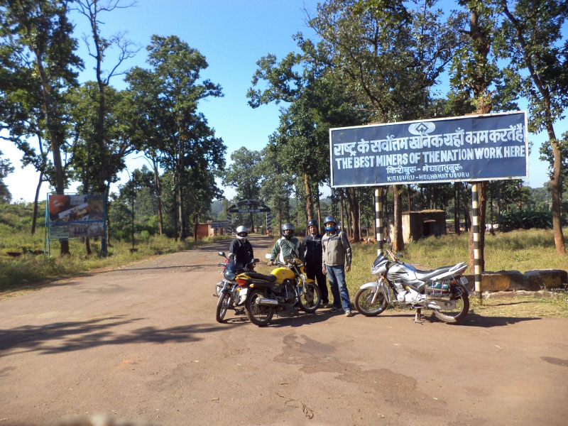
Continuing our drive, we reached “Haathi Chowk”. The actual 12 km ascent to the twin iron ore towns of Meghahatuburu and Kiriburu starts here. We started driving uphill the meandering road through the dense green foliage, gurgling streams, and tribal hamlets, an occasional group of monkeys running helter-skelter and taking shelter on the trees hearing us arrive.
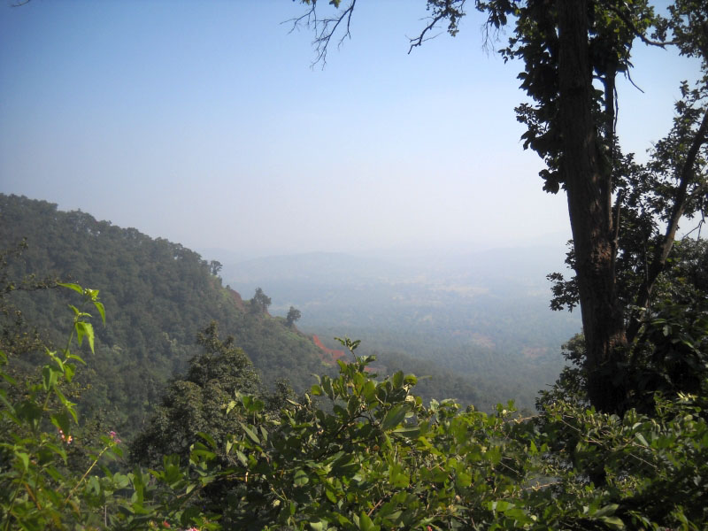
The women carrying faggots and pots of water for their homes were waving at us with smiles. After covering 8 km we stopped near a watchtower and went up the stairs for a view. It was a vantage point surveying the forest all around. The green peaks of the Saranda mountain range hemmed in the panorama. We were in the lap of Mother Nature!
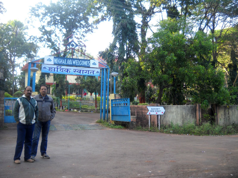
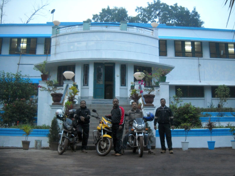
Meghalaya Guest House
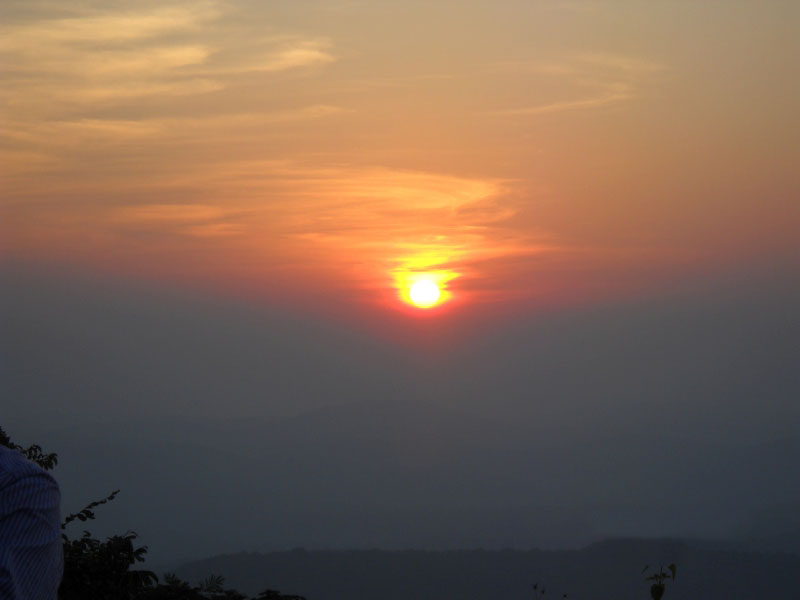
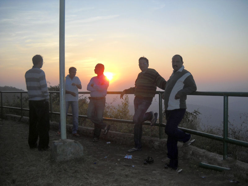
Having spent 15 minutes, soaking the splendors of nature, we came down and at about 4 pm reached the guest house at Meghahatuburu to call it a day. A total distance of 270 km covered in 9 hours. In the evening we went to the sunset point adjacent to the guest house and what a view it was!
The tranquil surrounding, scenic Saranda hills, and pleasant climate made it a thoroughly enjoyable experience. The tiredness of the long journey got mitigated by the breathtaking vista nature presented before us.
Day 2 – Pundul Falls & Meghahatuburu Mines
After a good night’s sleep and morning tea at Meghalaya Guest House, we went about for a spin in the twin hill stations. The greenery and salubrious climate are the first things that one notices about the towns situated at a height of 4300 ft and make them almost surrealistically beautiful.
The lofty mountain ranges with misty peaks, sprawling forests, and serene climate provide a quiet and peaceful resort. The little sleepy towns atop the hills with undulating landscape, panoramic views of low-flying clouds, and mist-filled sylvan valleys present a picture postcard-like view.
As we had to visit the Meghahatuburu mines in the afternoon, we decided to utilize the first half to visit “Pundul Falls”, 18 km from Kiriburu. We took directions from Mr. Majumdar at the Guest House, had our breakfast, and started at 10 am, planning to be back by 1:30 pm.
Also Read: Delhi to Pabbar Valley – Chanshal Pass
Pundul Falls
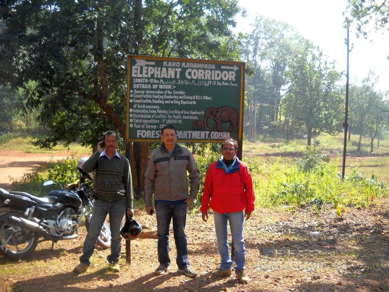
We headed towards Kiriburu and descended the steep slopes on a winding, narrow fairly good 10 km metalled road amidst thick forests. We reached a T-joint where the metalled road ended and joined a dusty track. A board read- “Elephant Corridor” and we made out that we were now in Odisha.
Taking further directions from a couple of villagers, we turned right. We continued for a couple of kilometers where we found that the track bifurcated into two. With no one around to tell which one to take, Arun proceeded further onto one of the tracks, asking us to wait.
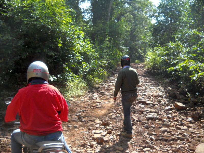
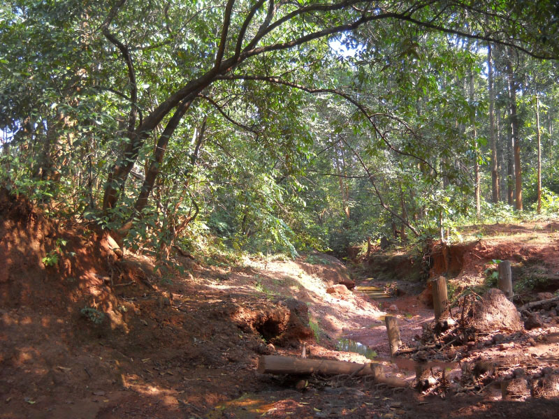
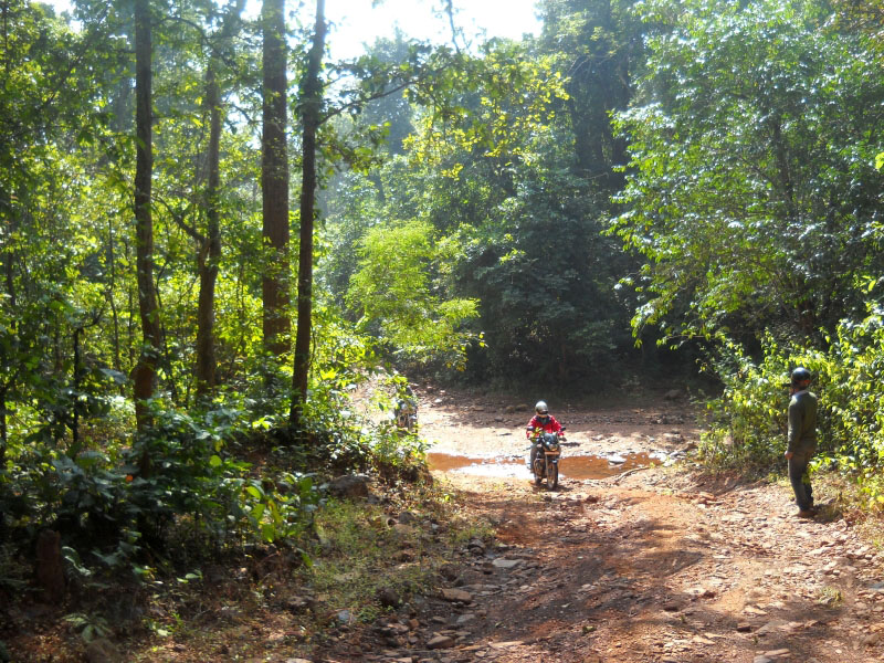
He returned after 10 minutes with one of the villagers on his pillion. He gave us some directions in Oriya which we could partly comprehend and then walked off into the forest. We re-started on the dusty track and as we drove further, the forest thickened and the track turned narrower and rocky, full of pebbles, small boulders, and gravel.
Driving became difficult and this entailed the pillion riders (we had taken 02 bikes) getting down several times; while we crossed the bad stretches and a number of rivulets. The track diverged several times into two. But as the villager had told us, we kept taking the left track. There was not a soul nearby to take further directions.
Finally after driving for about 10-15 km inside the deep jungle and finding no sign of “Pundul” we decided to return. It was getting late and there was a high probability of losing our way in the thick foliage of sal trees.
Meghahatuburu Mines
We returned back to the Guest House at about 2 pm. After having lunch, we waited for the vehicle that was to take us to the Meghahatuburu mines. The 02-hour mines visit proved to be an enriching experience courtesy of DGM (Mines). We shall ever be thankful to him and his team.
The evening was again spent at the sunset point to savor the joys of nature. After an early dinner, we hit the bed, as the next day we had to leave for Gua iron ore mines.
Day 3 – Meghahatuburu to Gua
The next day we bid adieu to Meghahatuburu-Kiriburu. As Gua is about 30 km from Meghahatuburu we took it easy and got ready leisurely for the short trip. However, the travel bags had to be tied carefully and securely. After breakfast was over, we settled the bills and began securing the luggage to the bikes with the help of stretchable cords.
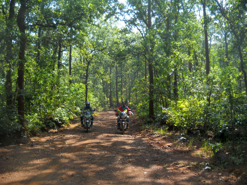
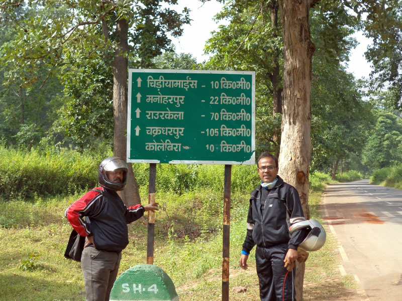
We left the guesthouse at about 9:00 am and started on the downhill towards ‘Haathi Chowk”. The road to Gua is off the main highway and about a couple of km towards Noamundi. It was smooth sailing till the point where the road to Gua starts. Then we faced the stark reality of the awful condition of what was actually an RCC path. It was running in the midst of the sal forests of Saranda.
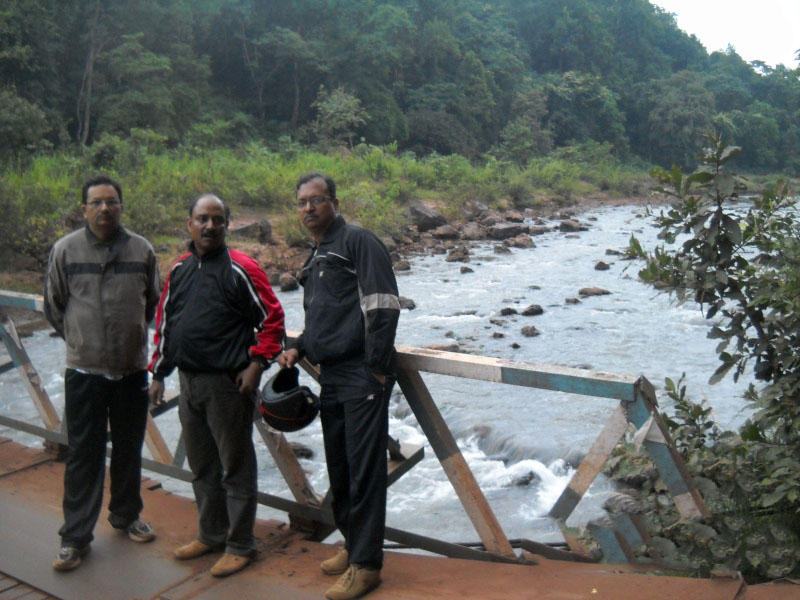
The RCC path is very narrow. We, motorcyclists, had to go off-road whenever a 4 wheeler came headed towards us from the opposite direction. After 4 km we crossed a metal bridge on the South Karo river. Then ascended a steep incline to merge with a heavy vehicle battered road (or what was left of it).
The ride now changed for the worse. It resembled a horse ride with the bikes galloping on the naturally formed humps before plunging into huge potholes! Anyways, knowing that we didn’t have a long distance to cover, we continued towards the goal – Director’s Bungalow (DB), Gua.
The 30 km took almost 1 hour 45 minutes. We checked into the DB by 10:45 am. Gua is densely populated as there are other private mines around, unlike Meghahatuburu-Kiriburu.
Also Read: Trip to Chandratal Lake by Car – An Adventurous Drive
Murga Mahadev Mandir
After an hour, we started for the Murga Mahadev Mandir, a temple dedicated to Lord Shiva. The distance is 30 km from Gua.
We took the 10 km treacherous path to the main highway, as there was no other alternative. We turned towards the left and headed for Noamundi. The road to Murga Mandir goes through the Tata Steel mines township at Noamundi. We covered the 10 km to Noamundi town comfortably and took a right turn to enter the Tata Steel township.
Well-laid out roads, greenery, and demarcated pathways greeted us. Taking directions from the inhabitants we crossed the township and entered Odisha through Joda. After a 5 km drive through a combination of metalled and un-metalled roads we reached the temple at about 12 pm.
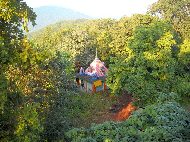
The word Murga Mahadev originated from two words “Murugan” and “Mahadev”. Historians opine that it is an ancient place of worshipping tribal gods which later converted to a Hindu place of worship.
Waterfall at Murga Mahadev Temple
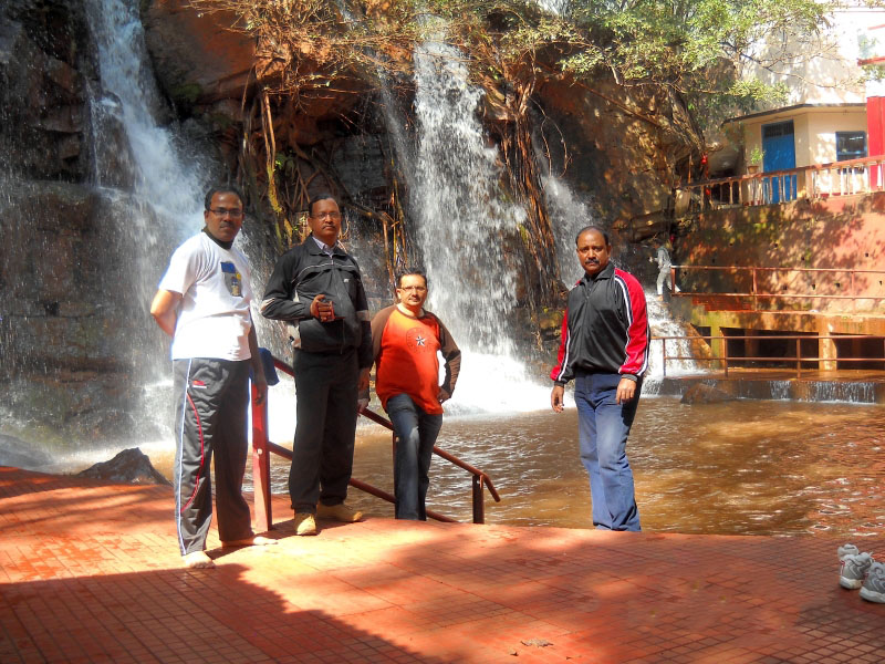
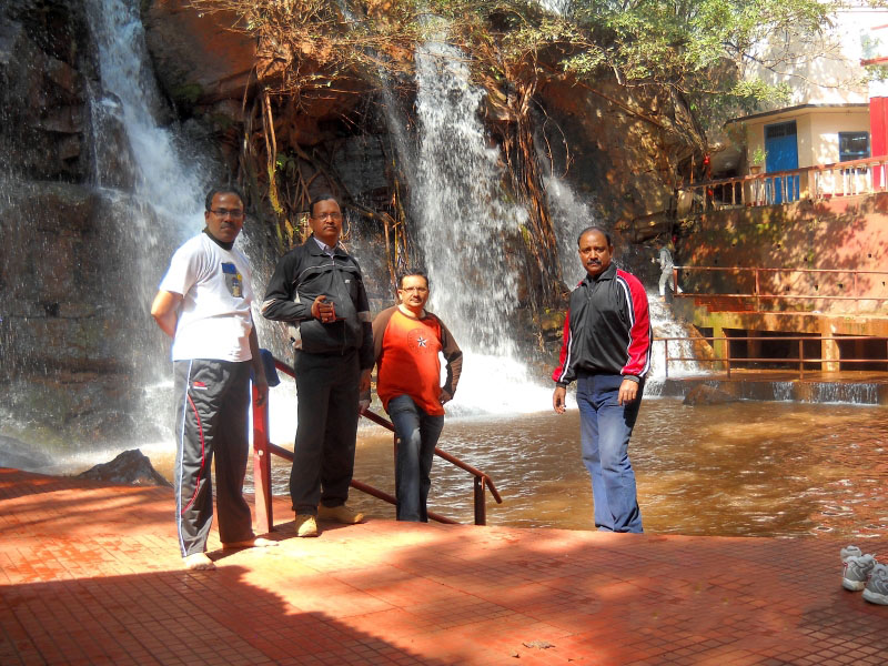
We bought some ‘prasad’ as an offering to the Lord and went down a flight of stairs. What we saw had us mesmerized! There was a waterfall gushing down from a height of about 15 meters just adjacent to the temple. The temple itself was well maintained. It had proper changing rooms provided for the devotees.
Before the other two could realize what was happening, Arun and I were already enjoying the water gushing down our backs. In the process, it was massaging our aching muscles and having an overall calming and soothing effect.
Shravan and Ashesh have saner upper stories. They decided otherwise and spent the time relaxing; soaking the beauty nature was bestowing on us. Their time was spent happily clicking pictures and capturing the moments on still camera; as well as on the Handycam.
After a 45 minutes bath, all of us offered our prayers. We thanked God Almighty for the safe ride till now and prayed for a safe and successful next day’s visit to Chiria iron ore mines.
Having thoroughly enjoyed the visit we went back to Noamundi. We had lunch at the Food Plaza in the Tata steel township. The content of the memory card of the Handycam was transferred to a Pendrive in a cybercafé at Noamundi. After that, we returned back to Gua before nightfall.
Day 4 – Exploring Chiria Mines
The penultimate day turned out to the most enjoyable part of the bike trip. We were going to Chiria mines. Having read so much about it in the newspapers, we were excited about actually going to see and visit it.
Chiria settlement is about 50 km from Gua. We started early at 8:30 am. Initially, we had to ascend halfway up to Meghahatuburu from Haathi Chowk to reach “Sedal gate”. From Sedal gate we turned towards the right. Then it was downhill the hill slopes for about 10 km to reach the sleepy hamlet of ‘Chota Nagra’.
The road was flat and in perfect condition. We didn’t find any heavy vehicles on the way, just the occasional LMV and local villagers on motorcycles.
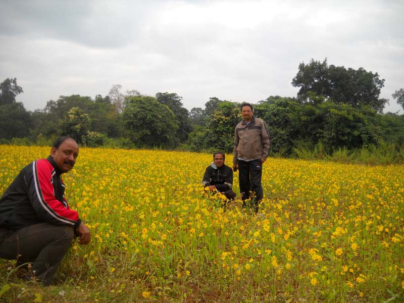
The surrounding natural beauty was comparable to the grandeur one finds in Yash Chopra’s movies. Wide valley, acres, and acres of yellow mustard fields, mountain ranges on either side, small villages, the river quietly flowing.
As children, we used to draw such paintings in the drawing period. Now it was right before our eyes. We stopped many times to take pictures as we had never visualized that such natural beauty existed in our very own Jharkhand.
SAIL Guest House at Chiria
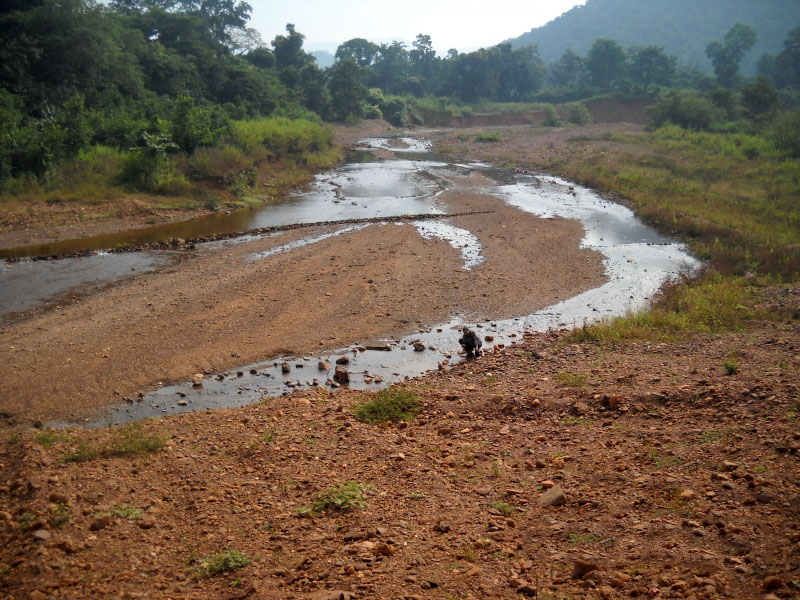
Enjoying and absorbing the spectacular vista, we continued onwards towards Chiria. After covering 45 km, we took a left turn off the highway. We stopped when we sighted the quietly flowing Koena River running parallel to the dirt track. This was supposed to take us to Chiria town.
We dismounted and ran towards it like playful children. Washing our faces and hands with the crystal clear waters, we spent about 15 minutes before hitting the dirt track. Making slow progress we covered the remaining 5 km and reached the SAIL Guest House at Chiria at about 11:00 am.
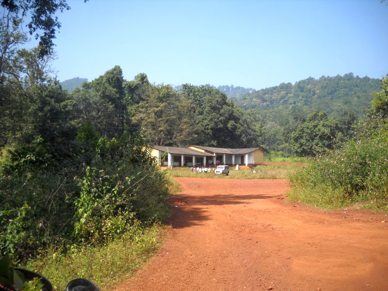
The Guest House was amidst picturesque surroundings with huge mountains nearby. We managed to get a Scorpio for us to visit the Dhobil mines where mining activities have started in Chiria.
Dhobil Mines
We left for the Dhobil mines at about 12:30 pm. The Scorpio crossed the shallow waters on a riverbed before starting the steep climb uphill towards Dhobil. It was a bumpy and wobbly 12 km ride on the ‘kutcha’ road through dense forest. Not a soul could be seen during the entire ride. We reached the top at about 01:15 pm. Chiria is the largest iron ore reserve in Asia with an estimated deposit of about 2000 MT.
We observed the mining operations and the screening machine. We returned at 2:30 pm after visiting the natural drinking water source of Chiria town about 1 km uphill near the riverbed we had crossed. It is supplied by gravity to the entire town.
Electricity for the town is obtained from a diesel generator. It is installed near the General Office and solar street lights are found in abundance. At the Guest House, we had hot lunch that was tasty and yummy.
Though an afternoon siesta was the call of the day after such meals, we had to forego it in favor of the return trip. We needed to make it back to Gua before dark for safety reasons. We reached Gua at about 5:30 pm in the evening.
Day 5 – Gua to Bokaro
Finally, the day came to say Goodbye to Saranda with a promise to visit again. We left early at 6:30 am and came back to Bokaro by the same route. However, the return journey was faster and we took an hour less, to reach home at 2:30 pm.
Six days, 700 kilometers, four iron ore towns, tranquil villages, dense forests, clear blue skies, rivers, waterfalls, temples are the concise material description of what we experienced during the journey. However, the real essence of those moments is just beyond vocabulary to express.
Road Trip to Saranda hills – Conclusion
I hope the travelogue, pictures, and information on a road trip to Saranda hills and exploring the area were of help. If you have any questions or need any further details, please feel free to ask in the comments section below, or at our Community Forum, and I will be glad to answer.

1 comment
How did you book the SAIL GUEST HOUSE and how to acquire the permission for the entry inside the iron ore mine? Please mail me if you don’t have any problem.